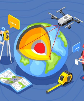
GIS & Remote Sensing

An application represents a practical implementation of a specific technology. For instance, utilizing Internet technology for online shopping, employing GPS technology for automobile navigation, and using GIS technology to print driving-direction maps are all examples of applications.
GIS provides robust tools for gathering, storing, managing, and displaying map-related data. On the other hand, simulation models offer decision-makers interactive analysis tools to comprehend physical systems and assess the impact of management actions. In the realm of water resources, GIS applications will need to be diverse and versatile.
The potential for GIS applications knows no bounds, relying solely on our creativity and the accessibility of data. Municipal applications alone are incredibly diverse, encompassing various areas such as:
Management of water resources, wastewater, and stormwater systems.
Detailed planning for various needs.
Assessing vulnerabilities and devising security plans.
Issuing permits and enforcing codes.

Conducting building inspections.
Handling grant applications and routing.
Mapping zoning areas and parcels.
Managing pavement conditions.
Monitoring and addressing customer complaints.
GIS technology revolutionizes decision-making across diverse fields, promising boundless possibilities for analyzing spatial data and shaping a more interconnected and sustainable world.
Numerous challenges arise from the interactions among the hydrosphere, atmosphere, lithosphere, and biosphere. Resolving these issues demands solutions that cater to diverse user groups, considering the various local, regional, national, and global aspects of vital hydrologic processes. Effectively managing water resources necessitates an extensive array of spatial data. This data, ranging from hydrography and water distribution systems to factors affecting water quality and movement such as terrain, climate, soils, and land use, plays a crucial role in understanding and addressing these challenges.
GISMONK Key Services in Data management include:

Our Service
Geospatial Services
Service
Business Model
Opportunity
Company
All Rights Reserved © copyright 2023